Terraxis
EUDR solutions
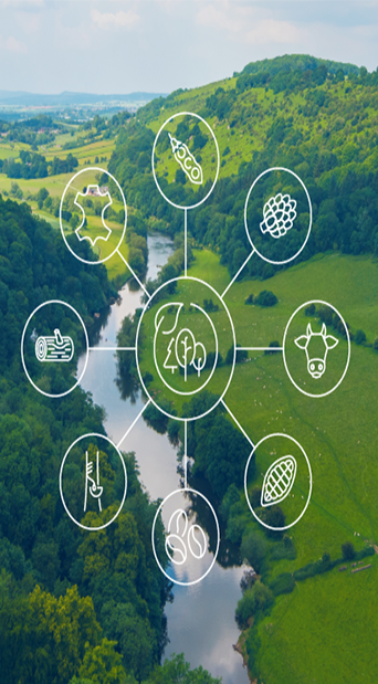
What You Get With our EUDR Services
Terraxis builds compliance infrastructure that works in the real world — not just in ideal datasets.
With our Plotra geospatial engine, we help exporters, cooperatives, and importers turn complex
agricultural landscapes into structured, compliant, and resilient supply chain systems.
End-to-End EUDR Compliance & Supply Chain Data Infrastructure
At Terraxis, you’ll find a complete compliance and digitization system designed for exporters and
cooperatives that need full EUDR readiness across the entire supply chain — from farm-level
mapping to final consignment documentation.
Read More Importer Compliance Workstation (DDS Submission & Data Structuring)
Importers receive large, inconsistent compliance packages per shipment — often spread across
PDFs, spreadsheets, certificates, and geospatial files. Terraxis transforms that complexity into a
single structured compliance workflow.
Read more Geolocation Verification (Satellite-Based Compliance Check)
This service provides satellite-based verification of agricultural plots to ensure submitted
geolocation data is accurate, consistent, and compliant with deforestation risk requirements.
Read more